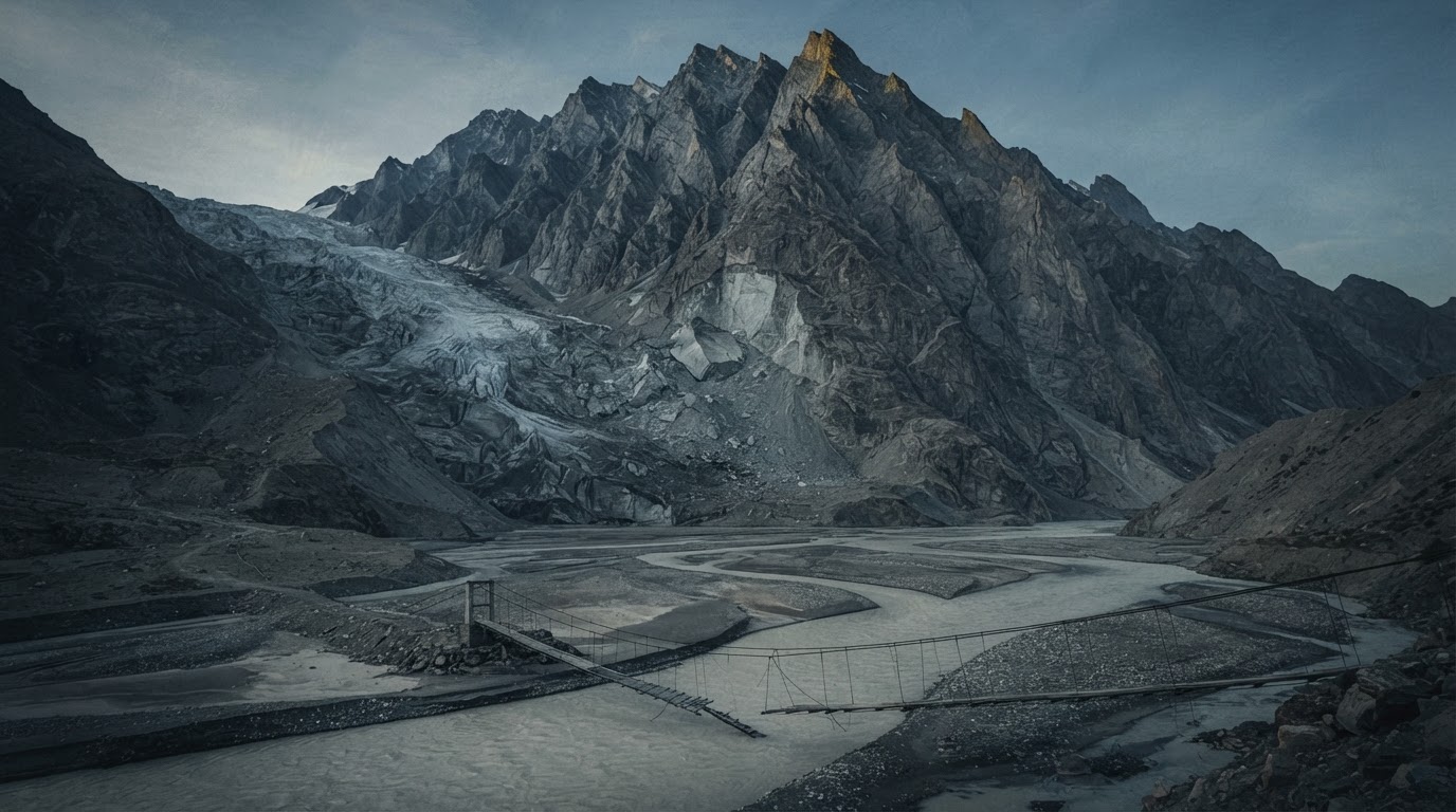
The World Weather Attribution group published its analysis of Nepal’s 26 August disaster on 17 September 2026, roughly three weeks after a rock wall on Langtang Lirung gave way and sent a wall of rock, ice and water down the Trishuli valley. The Guardian reported that the floods killed more than 1,300 people across Nepal and Tibet, with thousands still unaccounted for, and described the study as the first attempt to quantify the role of warming in the failure (theguardian.com). The BBC summarised the same document as finding that the disaster was a compound event driven by rising temperatures, thinning glaciers, thawing permafrost and pre-existing geological weaknesses (bbc.com).
What the study actually says
The report itself is more cautious than most of the coverage it generated. Its authors write that the underlying geological structure controlled where and how the slope failed, and that warming is best understood as a destabilising factor acting on a pre-existing geological predisposition. They also state plainly that they did not run a conventional single-event attribution study, because the event was a cascade of processes instead of one measurable weather extreme, so they assembled the known and possible drivers and then asked how each had shifted in a warmer climate (worldweatherattribution.org).
The physical description is striking on its own terms. The failure began at about 5,150 metres above sea level, brought down part of the overlying glacier, and released energy on impact equivalent to a magnitude 5.5 earthquake. The resulting rock and ice avalanche turned into a debris flood and then into a water-dominated flash flood that travelled downstream at average speeds of 188 kilometres per hour. Those numbers explain why the human toll was so heavy in the first minutes.
On causes, the study offers a list. Glaciers in the region have been thinning by more than half a metre per year for decades, and the retreat rate of the Langtang Lirung glacier has accelerated since 2010 from about 0.5 per cent a year over the previous two centuries to between 1 and 2.3 per cent a year. Permafrost degradation likely weakened the source rock wall by warming bedrock and thawing ice inside fractures. The height of the 0°C isotherm has climbed by roughly 100 metres per decade in monsoon and post-monsoon seasons. July and August 2026 were exceptionally warm near the failure site, and the standard attribution framework found about 1.5°C of that warmth attributable to human influence. October 2025 also brought exceptionally high precipitation, which may have supplied meltwater the following spring.
Then there is the earthquake. The same report notes that a magnitude 7.8 earthquake in 2015 triggered a catastrophic rock and ice avalanche at Langtang Lirung, that monitoring since has shown persistently elevated landslide activity at high elevations, and that the shaking may have weakened the rock mass over the long term. The authors say the specific contribution of that earthquake to the 2026 failure cannot yet be confirmed, while allowing that it may have preconditioned the slope. NBC News carried the warming finding in the more guarded form that thinning glaciers and thawing permafrost likely helped destabilise the slope (nbcnews.com). CNN told readers the analysis used peer-reviewed methods but has not itself been peer reviewed yet (cnn.com).
Where the warning systems ran out
The least quoted passage of the report is the one that should worry Nepali taxpayers and foreign donors most. The authors acknowledge that Nepal has built early warning systems and adaptation measures that have demonstrably saved lives during conventional riverine floods, including in downstream communities. They then state that this event was fundamentally different in magnitude, speed and complexity, that it lay beyond the design and predictive limits of existing risk reduction measures, and that no existing early warning system could have delivered enough lead time to prevent the scale of impacts in the worst-hit areas. They add that this is happening against a baseline of frequent large earthquakes that destabilise slopes and hamper recovery between disasters.
That admission cuts two ways. It supports the authors’ argument that loss and damage in the Himalaya is outrunning adaptation capacity. It also raises a question that governments and development agencies rarely invite, which is whether a decade of investment framed publicly as protecting mountain communities was scoped for slow monsoon river rises while the recognised cascading hazards were left outside the design envelope. The report notes that habitable land in high mountain valleys is scarce, populations are growing and livelihoods depend on rivers, so reducing exposure is politically and economically difficult. Difficulty is a reason for candour about residual risk, and the record here suggests residual risk was larger than the public messaging around these systems implied.
How the outlets framed it
The Guardian’s headline placed the climate crisis behind the floods that killed more than 1,300 people, which puts causation at the very top of the story. The BBC carried the same finding while moving the researchers’ own language about a compound event into its opening lines, listing pre-existing geological weakness alongside warming. NBC News chose the softer formulation that warming likely helped destabilise the slope. CNN went furthest toward the source document, describing a slew of interacting processes and telling readers the analysis has yet to clear peer review. The difference matters because the study treats warming as a destabilising factor acting on ground already predisposed to fail, and the shortest framings quietly discard both the 2015 earthquake and the authors’ own uncertainty.